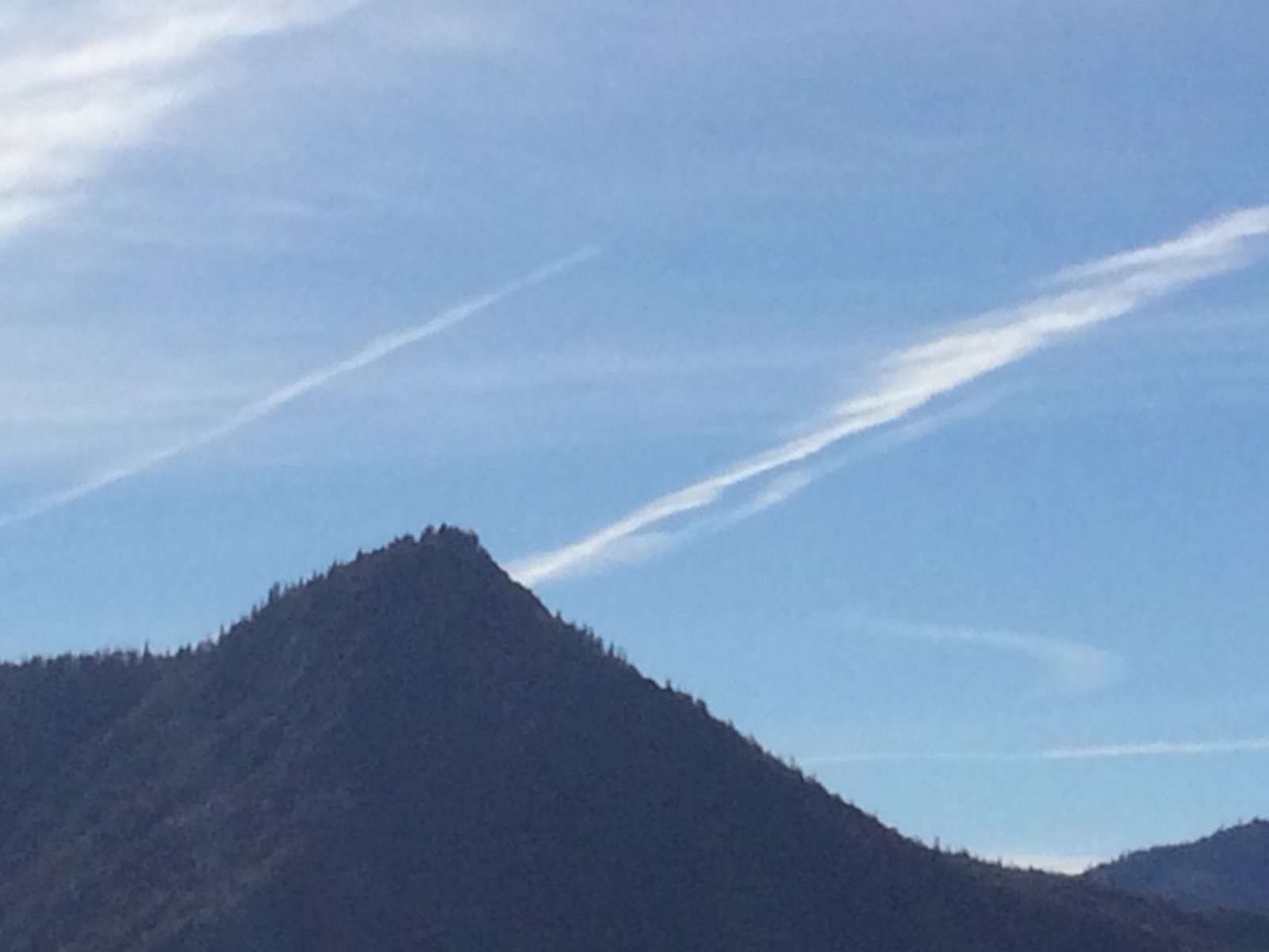
Mount Whitney, the highest peak in the contiguous United States, is a prominent landmark straddling the boundary between Sequoia National Park and Inyo National Forest. While its western slope lies within Sequoia National Park, the actual summit is not exclusively within the park boundaries. This article explores the location, elevation, and hiking details of Mount Whitney, addressing the question of its position relative to Sequoia National Park.
Where Is Mount Whitney Located?

Mount Whitney is situated on the boundary between California’s Inyo and Tulare counties. Its precise geographical coordinates are 36°34′43″N 118°17′31″W. The mountain’s western slope falls within Sequoia National Park, while its eastern face is part of Inyo National Forest. The summit itself sits on the boundary line between these two protected areas.
Key Location Facts:
- Western slope: Sequoia National Park
- Eastern face: Inyo National Forest
- Summit: On the boundary line
What Is the Elevation of Mount Whitney?

Mount Whitney stands at an impressive elevation of 14,505 feet (4,421 meters) above sea level, as measured using the North American Vertical Datum of 1988 (NAVD88). This elevation makes it the highest peak in the contiguous United States, surpassing all other mountains in the lower 48 states.
How Can Hikers Access Mount Whitney?
The most popular route to the summit of Mount Whitney is via the Mount Whitney Trail. This trail begins at Whitney Portal, which is located at an elevation of 8,360 feet (2,548 meters), approximately 13 miles west of the town of Lone Pine.
Mount Whitney Trail Details:
- Trail length: 22 miles round trip
- Elevation gain: Over 6,100 feet (1,859 meters)
- Difficulty: Strenuous due to significant elevation gain and high altitude
- Notable landmarks: Lone Pine Lake, Mirror Lake, Trail Camp, Guitar Lake
What Views Can Be Seen from Mount Whitney’s Summit?
The summit of Mount Whitney offers breathtaking 360-degree panoramic views of the surrounding Sierra Nevada range and beyond. On clear days, hikers can enjoy vistas that stretch for miles in all directions.
Notable Views:
- Owens Valley to the east
- Sequoia National Park to the west
- Other high peaks of the Sierra Nevada range
- Town of Lone Pine
- Badwater Basin in Death Valley National Park (the lowest point in North America)
What Are the Permit Requirements for Climbing Mount Whitney?
To climb Mount Whitney, hikers must obtain permits managed by the Inyo National Forest. These permits are required year-round and are subject to specific regulations and limitations.
Permit Information:
- Required: Year-round
- Peak season: May 1 to November 1 (limited number of permits issued)
- Application period: February 1 through March 15
- Remaining permits: Available for purchase starting April 1
- Day-use permits: Available but prohibit overnight camping gear
How Does Mount Whitney’s Location Affect Its Management?
The unique position of Mount Whitney, straddling the boundary between Sequoia National Park and Inyo National Forest, creates an interesting management scenario. While the National Park Service oversees Sequoia National Park, the U.S. Forest Service manages Inyo National Forest. This dual jurisdiction requires cooperation between these agencies to effectively manage the mountain and its surrounding areas.
Management Considerations:
- Trail maintenance
- Permit issuance and enforcement
- Environmental protection
- Search and rescue operations
What Is the Geological Significance of Mount Whitney?
Mount Whitney is part of the Sierra Nevada mountain range, which formed through a combination of tectonic uplift and glacial erosion. The mountain’s granite composition is a result of ancient volcanic activity and subsequent erosion over millions of years.
Geological Features:
- Granite composition
- Evidence of glacial activity
- Part of the Sierra Nevada batholith
How Does Climate Change Affect Mount Whitney?
Climate change is having a noticeable impact on Mount Whitney and the surrounding Sierra Nevada range. Some of the observed and predicted effects include:
- Reduced snowpack
- Earlier spring melts
- Changes in vegetation patterns
- Increased wildfire risk
These changes may affect hiking conditions, water availability, and the overall ecosystem of the mountain in the coming years.
What Wildlife Can Be Found on Mount Whitney?
Despite its high elevation and harsh conditions, Mount Whitney and its surrounding areas are home to a variety of wildlife species adapted to alpine environments.
Common Wildlife:
- Marmots
- Pikas
- Golden-mantled ground squirrels
- Clark’s nutcrackers
- Occasional sightings of bighorn sheep
How Has Mount Whitney Influenced Popular Culture?
Mount Whitney has played a significant role in American culture, inspiring artists, writers, and adventurers for generations. Its status as the highest peak in the contiguous United States has made it a popular challenge for hikers and climbers.
Cultural Significance:
- Featured in numerous books and documentaries
- Popular destination for outdoor enthusiasts
- Subject of many landscape paintings and photographs
In conclusion, while the peak of Mount Whitney is not entirely within Sequoia National Park, its western slope and surrounding area are an integral part of the park’s landscape and ecosystem. The mountain’s unique position on the boundary between the park and Inyo National Forest creates a fascinating blend of natural beauty and administrative complexity, making it a truly remarkable landmark in the American West.
References:
1. Mount Whitney – Wikipedia
2. Mt Whitney – High Mountains
3. Mount Whitney Topo Map in Tulare County CA – Topo Zone

