Sequoia National Park trail conditions vary greatly depending on the season, weather, and specific location within the park. Currently, many trails are open but may be affected by winter weather, including snow and ice at higher elevations. Some areas are closed due to storm damage, while others remain accessible with proper preparation. Visitors should check the latest updates before planning their hikes and be prepared for changing conditions.
What Are the Current Weather Conditions Affecting Trails?

The weather in Sequoia National Park plays a crucial role in determining trail conditions. Here’s what you need to know:
- Temperature Range:
- Daytime: Mid-50s to low 60s Fahrenheit (12-16°C)
- Nighttime: Dropping to the 30s°F (0-4°C)
- Precipitation: Possibility of rain and snow, especially at higher elevations
- Impact on Trails: Snow and ice may be present, particularly on higher elevation paths
Which Trails Are Currently Open and Accessible?

Several popular trails remain open, but conditions can change rapidly. Here’s a quick overview:
- Congress Trail
- Status: Generally open year-round
- Length: Approximately 4.7 km
- Difficulty: Easy
- Surface: Paved
-
Average completion time: 1 hour and 21 minutes
-
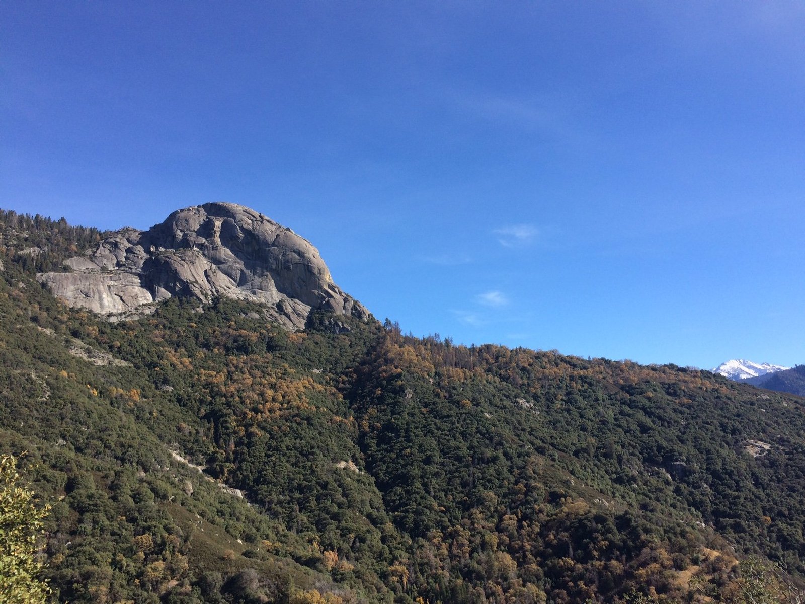
Moro Rock Trail
- Status: Accessible, may have some snow cover
- Difficulty: Moderate
- Features: Panoramic views, wildlife viewing opportunities
What Are the Major Hazards to Be Aware Of?
Hikers should be cautious of several potential hazards:
- Snow and Ice: Present on higher elevation trails
- River Safety: Swift, icy cold water from melting snow
- Wildlife: Deer and black bears are common; maintain a safe distance
How Can I Access Trail Maps and GPS Coordinates?
For detailed trail information:
- Visit the official National Park Service website
- Use resources like AllTrails
- Key GPS Coordinates:
- Congress Trail (General Sherman Tree parking lot): 36.5783° N, 118.7497° W
- Moro Rock Trail: 36.5444° N, 118.7633° W
What Gear is Recommended for Current Trail Conditions?
Proper preparation is essential for a safe and enjoyable hike. Here’s a list of recommended gear:
- Layered Clothing
- Sturdy Hiking Boots
- Tire Chains or Cables (for driving to trailheads)
- Water and Snacks
- First Aid Kit
- Map and Compass (or GPS device)
- Flashlight or Headlamp
- Sun Protection (sunscreen, hat, sunglasses)
Are There Any Recent or Upcoming Trail Closures?
Several areas are currently closed or have limited access:
| Area | Status | Reason |
|---|---|---|
| Mineral King Road | Closed | Severe road damage from winter storms |
| Cedar Grove Area | Closed | Severe road damage from winter storms |
| Highway 180 | Closed | Seasonal closure (typically reopens mid-April) |
What Alternative Routes Are Available?
For those affected by closures, consider these alternatives:
- Lower-elevation trails like Congress Trail and Moro Rock Trail
- Nearby trails in Kings Canyon National Park (check current conditions)
- Explore the foothills region of Sequoia National Park
How Can I Stay Updated on Trail Conditions?
To ensure you have the most current information:
- Check the official Sequoia & Kings Canyon National Parks website regularly
- Visit park visitor centers for up-to-date bulletins
- Speak with park rangers for expert advice
- Monitor weather forecasts for the area
- Join online hiking communities for recent trip reports
Remember, trail conditions in Sequoia National Park can change rapidly. Always check the latest updates before setting out on your hike and be prepared to adjust your plans if necessary. Stay safe and enjoy the majestic beauty of the giant sequoias and surrounding wilderness!
References:
1. https://travelnoire.com/is-sequoia-national-park-nice-in-november
2. https://www.nps.gov/seki/planyourvisit/conditions.htm
3. https://www.alltrails.com/trail/us/california/congress-trail

