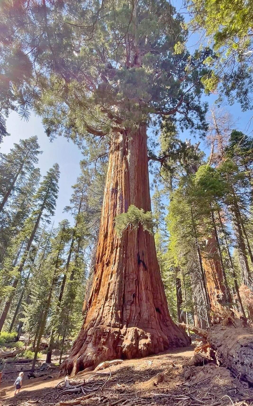
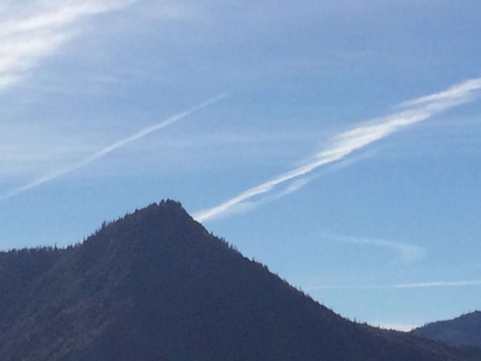
The Sequoia National Park Kings Canyon Scenic Byway is a breathtaking 50-mile route that winds through the heart of California’s Sierra Nevada mountains. This scenic drive offers visitors an unforgettable journey through towering sequoia groves, deep canyons, and stunning vistas. The byway, which follows Highway 180, showcases the diverse landscapes of Sequoia and Kings Canyon National Parks, providing access to some of the most iconic natural wonders in the United States.
What Are the Key Attractions Along the Kings Canyon Scenic Byway?

The Kings Canyon Scenic Byway boasts numerous attractions that captivate visitors:
- Grant Grove Area
- General Grant Tree (third largest sequoia in the world)
-
Big Stump Trail
-
Sequoia National Forest and Converse Basin
- Boole Tree (8th tallest tree in existence)
-
Converse Basin (site of historic logging)
-
Cedar Grove Area
- Roaring River Falls
- Zumwalt Meadow
Where Are the Best Viewpoints on the Scenic Byway?

The Kings Canyon Scenic Byway offers several breathtaking viewpoints:
- Panoramic Point
- Spectacular views of the Sierra Nevada and Kings Canyon
-
Best for photography during late afternoon to early evening
-
Junction View
- Showcases the confluence of the Middle and South Forks of the Kings River
-
Optimal for photography in early morning or late afternoon
-
Canyon View
- Highlights the unique U-shaped profile of Kings Canyon
- Best viewed in late morning to early afternoon
What Hiking Trails Can Be Accessed from the Scenic Byway?
The byway provides access to numerous hiking trails, catering to various skill levels:
| Trail Name | Length | Difficulty | Notable Features |
|---|---|---|---|
| Big Stump Trail | 2 miles | Moderate | Logged sequoia stumps, young sequoias |
| Boole Tree Trail | 2 miles round trip | Moderate | 8th tallest tree in existence |
| Yucca Point Trail | 2.5 miles | Moderate to strenuous | Descends to river fork, 1,000 feet elevation change |
| Roaring River Falls Trail | 0.25 miles | Easy to moderate | 80-foot waterfall |
| Park Ridge Fire Lookout Trail | 2.5 miles | Moderate to strenuous | Active fire lookout tower, panoramic views |
How Can Visitors Navigate the Kings Canyon Scenic Byway?
To navigate the Kings Canyon Scenic Byway effectively, visitors can utilize:
- National Park Service Maps
- Official Map and Guide for Sequoia and Kings Canyon National Parks
-
Available online and at park entrance stations
-
Sequoia Parks Conservancy Maps
-
Detailed maps of specific areas (sequoia groves, recreation districts, hiking trails)
-
Interactive Atlas
- Sequoia & Kings Canyon Park Atlas for exploring park geography
What Is the Best Time to Visit the Scenic Byway?
The best time to visit the Kings Canyon Scenic Byway depends on personal preferences:
- Summer (June to August): Peak season, warm weather, all facilities open
- Fall (September to November): Fewer crowds, beautiful foliage, cooler temperatures
- Winter (December to February): Snow-covered landscapes, limited access to some areas
- Spring (March to May): Wildflowers blooming, waterfalls at peak flow
How Long Does It Take to Drive the Scenic Byway?
The drive time for the Kings Canyon Scenic Byway varies:
- Without stops: Approximately 1.5 to 2 hours
- With stops and short hikes: 4 to 6 hours
- Full day exploration: 8 to 10 hours
What Wildlife Can Be Seen Along the Scenic Byway?
Visitors to the Kings Canyon Scenic Byway may encounter diverse wildlife:
- Black bears
- Mule deer
- Coyotes
- Sierra Nevada bighorn sheep
- Various bird species (including woodpeckers and raptors)
Are There Camping Options Along the Scenic Byway?
Yes, several campgrounds are available along the Kings Canyon Scenic Byway:
- Azalea Campground (Grant Grove area)
- Sunset Campground (Grant Grove area)
- Sheep Creek Campground (Cedar Grove area)
- Sentinel Campground (Cedar Grove area)
What Safety Precautions Should Visitors Take?
When exploring the Kings Canyon Scenic Byway, visitors should:
- Carry plenty of water and snacks
- Use sunscreen and wear appropriate clothing
- Be aware of altitude changes and their effects
- Follow bear safety guidelines
- Check road conditions, especially in winter
- Stay on designated trails and viewpoints
The Sequoia National Park Kings Canyon Scenic Byway offers a remarkable journey through some of California’s most stunning natural landscapes. From towering sequoias to deep canyons and rushing waterfalls, this scenic route provides an unforgettable experience for nature lovers and adventure seekers alike. By planning ahead and taking advantage of the numerous attractions, viewpoints, and hiking trails along the way, visitors can create lasting memories in this awe-inspiring corner of the Sierra Nevada mountains.
References:
1. https://www.nps.gov/seki/planyourvisit/byways.htm
2. https://www.visitsequoia.com/maps-directions/scenic-drives/
3. https://www.myscenicdrives.com/drives/california/kings-canyon

