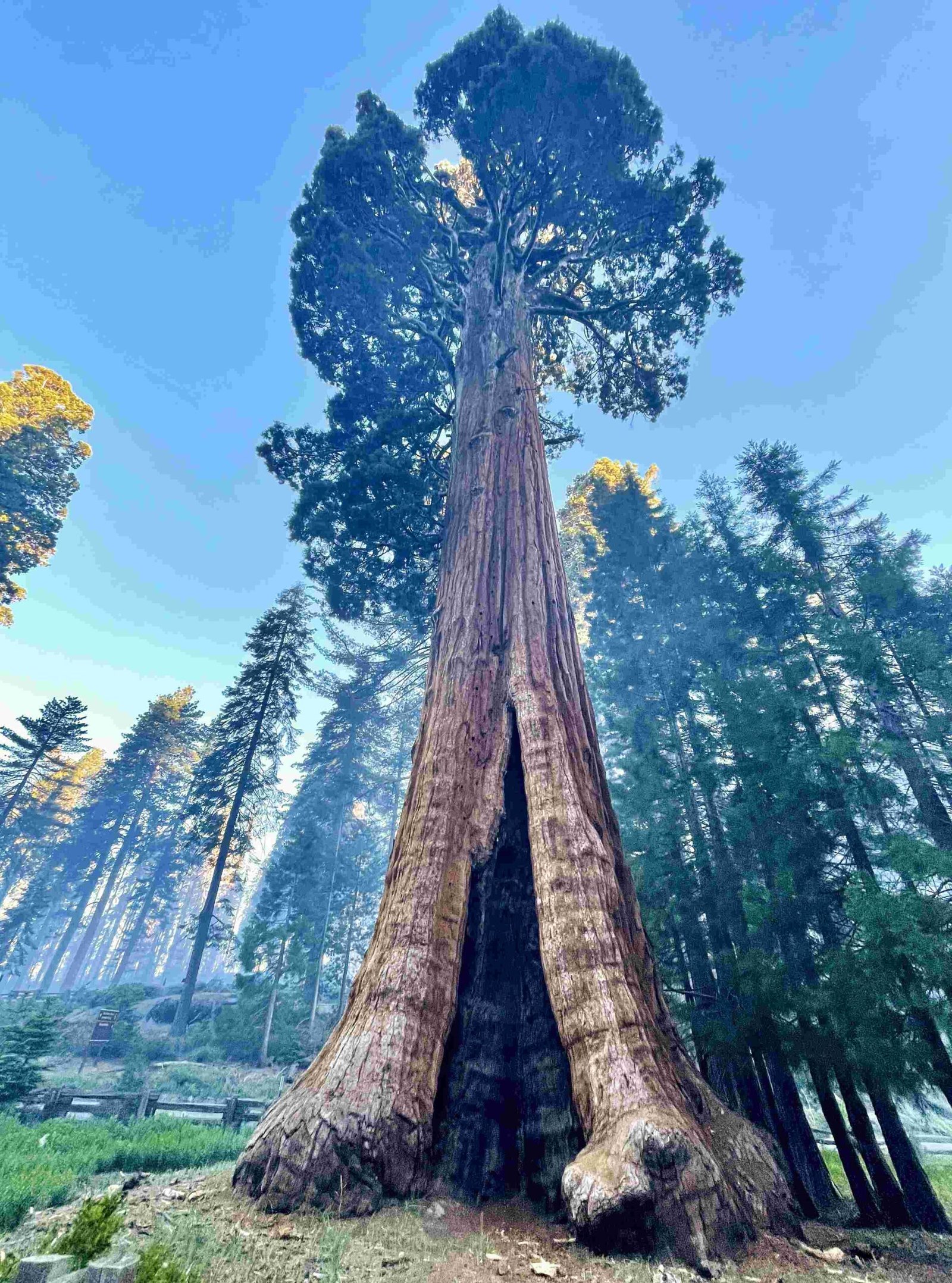
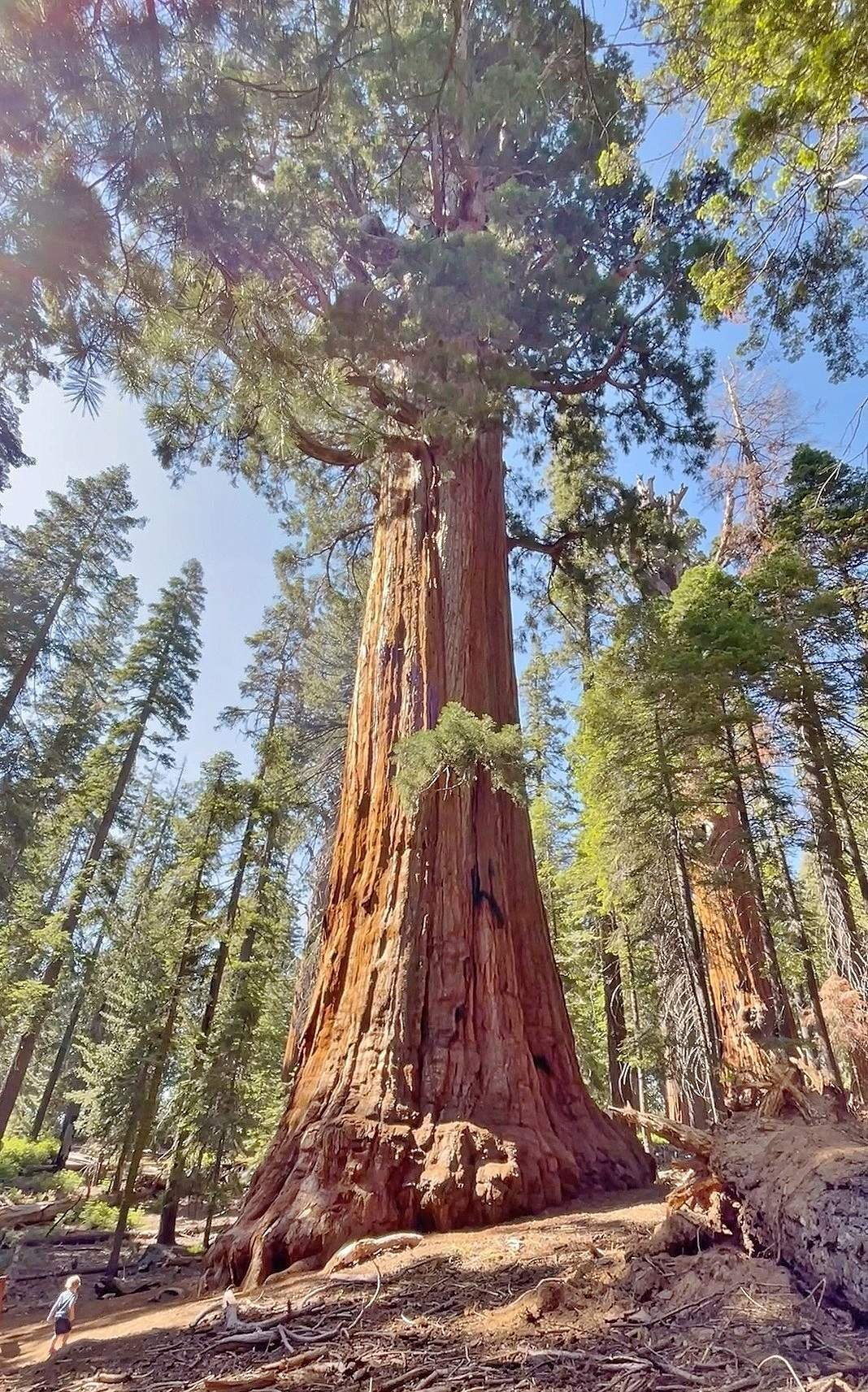
US Topo maps for Sequoia National Park provide detailed topographic information at a 1:24,000 scale with 40-foot contour intervals. These maps highlight key features such as trails, water bodies, and landmarks, making them invaluable for navigation and planning. Covering elevations from 869 feet to 14,505 feet at Mt. Whitney, US Topo maps offer comprehensive coverage of the park’s diverse terrain and ecosystems.
What are the Specifications of US Topo Maps for Sequoia National Park?

US Topo maps, also known as FSTopo maps, are essential tools for navigating and understanding the terrain of Sequoia National Park. Here are the key specifications:
- Scale: 1:24,000 for the conterminous United States, including Sequoia National Park
- Contour Interval: 40 feet, providing detailed topographic information
- Coverage: Entire area of Sequoia National Park and surrounding regions
These maps highlight specific features crucial for park visitors and researchers:
- Trails (e.g., John Muir Trail, Pacific Crest Trail)
- Water bodies (lakes, rivers, streams)
- Landmarks (Sequoia groves, monuments, Mt. Whitney)
- Boundaries (wilderness areas, national monuments, recreational opportunity areas)
The combination of scale and contour interval allows for precise navigation and planning, especially in the park’s varied terrain.
How Does Elevation Data Enhance US Topo Maps for Sequoia National Park?

Elevation data is a critical component of US Topo maps for Sequoia National Park, providing users with a comprehensive understanding of the park’s topography. Key elevation points include:
| Location | Elevation (meters) | Elevation (feet) |
|---|---|---|
| Mt. Whitney (Highest Point) | 4,401 | 14,505 |
| Southern Entrance (Lowest Point) | 265 | 869 |
| Average Park Elevation | 2,515 | 8,251 |
| Ash Mountain (Common Entrance) | 520 | 1,700 |
| Giant Forest Area | 1,939 | 6,362 |
This elevation data, when combined with the 40-foot contour intervals on US Topo maps, allows users to:
- Visualize the dramatic elevation changes within the park
- Plan hikes and expeditions with accurate altitude information
- Understand the distribution of ecosystems and vegetation zones
- Assess the difficulty of trails and routes based on elevation gain/loss
What are the Primary Trails Featured on US Topo Maps for Sequoia National Park?
US Topo maps for Sequoia National Park highlight several primary trails, each offering unique experiences and challenges:
- John Muir Trail
- Length: Approximately 211 miles within the park
- Difficulty: Challenging
- Key Features:
- Part of the longer Pacific Crest Trail
- Passes through Kings Canyon National Park and Ansel Adams Wilderness
- High elevation and rugged terrain
-
Accessibility: Suitable for experienced hikers and backpackers
-
Pacific Crest Trail
- Total Length: About 800 miles (including sections outside the park)
- Difficulty: Challenging
- Key Features:
- Scenic beauty and diverse landscapes
- Traverses multiple national forests and wilderness areas
-
Accessibility: Ideal for experienced long-distance hikers
-
Congress Trail
- Length: Approximately 2 miles
- Difficulty: Easy to moderate
- Key Features:
- Located in the Giant Forest area
- Showcases notable sequoia groves
- Includes landmarks like the General Sherman Tree
- Accessibility: Suitable for families and casual hikers
These trails are clearly marked on US Topo maps, allowing users to plan their routes and understand the surrounding terrain.
How Do US Topo Contours Represent Sequoia National Park’s Terrain?
The contour lines on US Topo maps for Sequoia National Park provide a detailed representation of the park’s diverse terrain:
- Contour Interval: 40 feet
- Allows for precise elevation readings
-
Helps visualize the steepness and complexity of the terrain
-
Contour Line Spacing:
- Close spacing: Indicates steep terrain (e.g., around Mt. Whitney)
-
Wide spacing: Represents gentler slopes (e.g., foothills near Ash Mountain)
-
Terrain Representation:
- Captures the range from gentle foothills to steep mountainous regions
- Clearly depicts deep canyons like Kings Canyon
-
Highlights unique geological features of the Sierra Nevada mountain range
-
Vegetation Zones:
- Contours help illustrate the transition between different ecosystems
-
Sequoia groves are often found in specific elevation ranges, which can be inferred from contour lines
-
Water Features:
- Rivers and streams are shown in relation to the surrounding topography
- Lakes and their shorelines are accurately depicted within the contour system
By interpreting these contour lines, users can:
– Assess trail difficulty based on elevation changes
– Identify potential campsites on flat areas
– Locate vantage points for scenic views
– Plan routes that avoid excessively steep or challenging terrain
What Additional Features Enhance US Topo Maps for Sequoia National Park?
US Topo maps for Sequoia National Park include several additional features that enhance their utility:
- Coordinate Systems:
- UTM grid for precise location referencing
-
Latitude and longitude markings
-
Legend:
- Comprehensive key explaining all map symbols and colors
-
Information on map datum and projection
-
Scale Bar:
-
Allows for accurate distance measurements
-
Declination Diagram:
-
Shows the relationship between true north, magnetic north, and grid north
-
Vegetation Cover:
-
Different shades or patterns to indicate forest types and density
-
Human-made Features:
- Roads and parking areas
- Campgrounds and visitor centers
-
Historical sites and points of interest
-
Wilderness Boundaries:
-
Clearly marked boundaries of designated wilderness areas
-
Hydrological Features:
- Springs, waterfalls, and seasonal streams
- Wetlands and marshy areas
These additional features, combined with the topographic data, make US Topo maps for Sequoia National Park comprehensive tools for navigation, research, and park management.
How Can Visitors Best Utilize US Topo Maps for Sequoia National Park?
To make the most of US Topo maps for Sequoia National Park, visitors should:
- Familiarize with Map Reading:
- Understand contour lines and their interpretation
-
Learn to read map symbols and scales
-
Plan Routes in Advance:
- Use the maps to plot hiking trails and estimate distances
-
Identify potential campsites and water sources
-
Assess Terrain Difficulty:
- Analyze contour spacing to gauge steepness
-
Consider elevation changes when planning hikes
-
Combine with GPS:
- Use GPS coordinates in conjunction with map features
-
Download digital versions of US Topo maps for offline use
-
Study Park Regulations:
- Note wilderness boundaries and restricted areas
-
Identify designated campsites and fire-permitted zones
-
Prepare for Emergencies:
- Mark ranger stations and emergency exit routes
-
Identify potential helicopter landing zones in case of evacuation
-
Enhance Nature Experience:
- Use maps to locate viewpoints and unique geological features
- Identify different vegetation zones based on elevation
By effectively utilizing US Topo maps, visitors can enhance their safety, navigation, and overall experience in Sequoia National Park.
References:
1. Sequoia National Park topographic map, elevation, terrain
2. Sequoia & Kings Canyon National Parks National Geographic Trails Illustrated Map
3. Sequoia National Forest – Maps & Publications

