Sequoia National Park, located in the southern Sierra Nevada mountains of California, boasts a diverse range of altitudes. From its lowest point at 265 meters to the towering peak of Mount Whitney at 4,421 meters, the park offers a stunning variety of ecosystems and landscapes. This guide explores the various elevation zones within the park, their unique characteristics, and how altitude impacts visitor experiences and the park’s flora and fauna.
What is the Average Elevation of Sequoia National Park?

The average elevation of Sequoia National Park is approximately 2,515 meters above sea level. This mid-range altitude contributes to the park’s diverse climate and ecosystems, supporting a wide array of plant and animal life. However, it’s important to note that the park’s elevation varies dramatically across its expanse.
Here’s a breakdown of key elevation points within the park:
- Lowest Point: 265 meters
- Ash Mountain Entrance: 520 meters
- Giant Forest: 1,524 – 2,134 meters
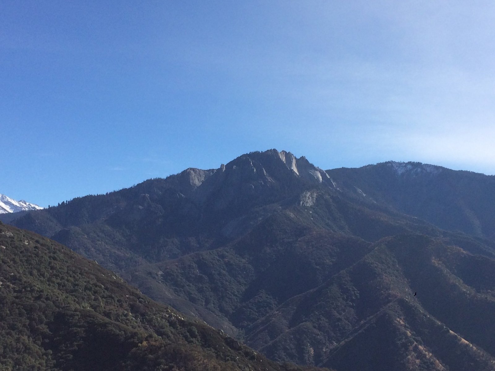
- Moro Rock: 2,044 meters
- Highest Point (Mount Whitney): 4,421 meters
How Does Altitude Affect the Park’s Ecosystems?

The wide range of altitudes in Sequoia National Park creates distinct ecological zones, each with its own unique characteristics:
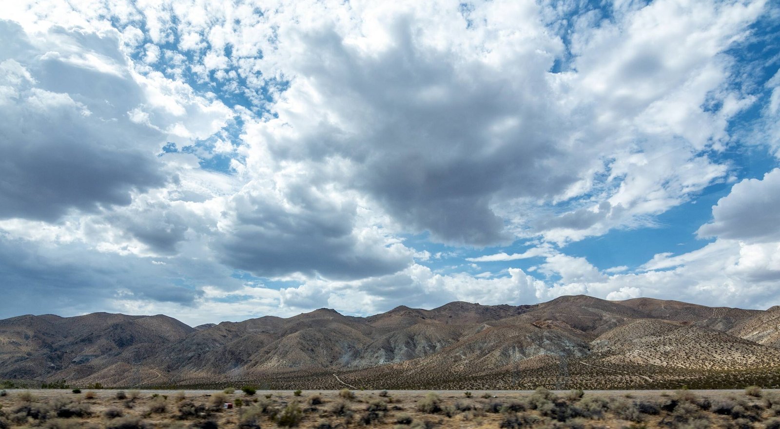
- Foothills Zone (265 – 1,500 meters)
- Characterized by oak woodlands and chaparral
- Hot, dry summers and mild winters
-
Home to species like manzanita, buckeye, and California lilac
-
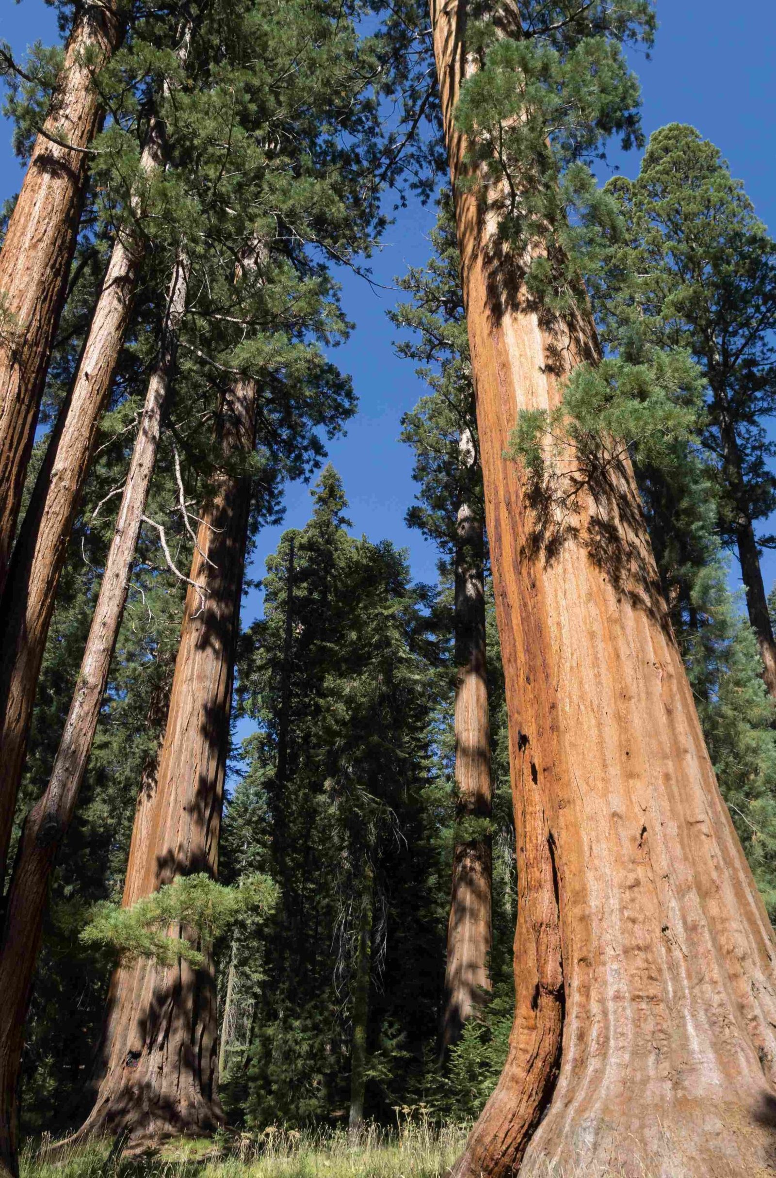
Mixed Conifer Forest (1,500 – 2,700 meters)
- Dominated by giant sequoias, sugar pines, and white firs
- Moderate climate with snowy winters
-
Habitat for black bears, mule deer, and various bird species
-
Subalpine Zone (2,700 – 3,500 meters)
- Sparse forests of lodgepole pine and foxtail pine
- Short growing seasons with long, cold winters
-
Home to marmots, Clark’s nutcrackers, and hardy alpine plants
-
Alpine Zone (above 3,500 meters)
- Treeless landscape with rocky terrain
- Extreme weather conditions
- Specialized plants like sky pilot and alpine gold
What Are the Highest and Lowest Points in Sequoia National Park?
The elevation extremes in Sequoia National Park showcase its diverse topography:
| Location | Elevation (meters) |
|---|---|
| Lowest Point (near Ash Mountain) | 265 |
| Highest Point (Mount Whitney) | 4,421 |
This remarkable 4,156-meter elevation difference contributes to the park’s varied climate and ecosystems.
How Does Altitude Impact Visitor Experiences?
The varying altitudes in Sequoia National Park significantly affect visitor experiences:
-
Acclimatization: Visitors coming from lower elevations may need time to adjust to the higher altitudes, especially when visiting areas above 2,500 meters.
-
Temperature Changes: Temperatures generally decrease by about 3.5°C for every 300 meters of elevation gain. Visitors should be prepared for cooler temperatures at higher altitudes.
-
Breathtaking Views: Higher elevations, such as Moro Rock (2,044 meters), offer panoramic vistas of the surrounding landscape.
-
Diverse Activities: The range of altitudes allows for various activities, from hiking in the foothills to alpine climbing on Mount Whitney.
-
Wildlife Viewing: Different elevation zones support diverse wildlife, providing opportunities to observe various species in their natural habitats.
What Are the Most Popular High-Altitude Trails in Sequoia National Park?
Sequoia National Park offers several popular high-altitude trails for adventurous hikers:
- Mount Whitney Trail
- Elevation Gain: 1,871 meters
- Starting Elevation: 2,550 meters
- Summit Elevation: 4,421 meters
- Distance: 35.4 km round trip
-
Difficulty: Strenuous
-
Alta Peak Trail
- Elevation Gain: 1,200 meters
- Starting Elevation: 2,100 meters
- Summit Elevation: 3,300 meters
- Distance: 23 km round trip
-
Difficulty: Challenging
-
Lakes Trail to Pear Lake
- Elevation Gain: 640 meters
- Starting Elevation: 2,100 meters
- Highest Point: 2,740 meters
- Distance: 19.3 km round trip
- Difficulty: Moderate to Challenging
How Does Altitude Affect Plant Life in Sequoia National Park?
The varying altitudes in Sequoia National Park create distinct vegetation zones:
- Lower Elevations (265 – 1,500 meters)
- Dominated by oak woodlands and chaparral
-
Drought-resistant plants like manzanita and buckeye
-
Mid-Elevations (1,500 – 2,700 meters)
- Home to the giant sequoias and mixed conifer forests
-
Species include sugar pines, white firs, and incense cedars
-
Higher Elevations (2,700 – 3,500 meters)
- Subalpine zone with lodgepole pines and foxtail pines
-
Hardy plants adapted to shorter growing seasons
-
Alpine Zone (above 3,500 meters)
- Sparse vegetation with specialized alpine plants
- Species like sky pilot and alpine gold thrive in harsh conditions
What Precautions Should Visitors Take at High Altitudes?
When exploring the higher elevations of Sequoia National Park, visitors should take the following precautions:
-
Acclimatization: Spend a day or two at lower elevations before attempting high-altitude hikes.
-
Hydration: Drink plenty of water to combat the effects of altitude and dry air.
-
Sun Protection: Use sunscreen, wear hats, and use sunglasses to protect against increased UV exposure at higher altitudes.
-
Proper Gear: Bring warm, layered clothing as temperatures can drop significantly at higher elevations.
-
Altitude Sickness Awareness: Be alert for symptoms like headache, nausea, and dizziness. Descend if symptoms persist or worsen.
-
Fitness Level: Be honest about your physical condition and choose trails appropriate to your ability.
-
Weather Awareness: Check weather forecasts and be prepared for sudden changes, especially at higher altitudes.
By understanding and respecting the varying altitudes within Sequoia National Park, visitors can safely enjoy the diverse landscapes and unique experiences this remarkable park has to offer.

