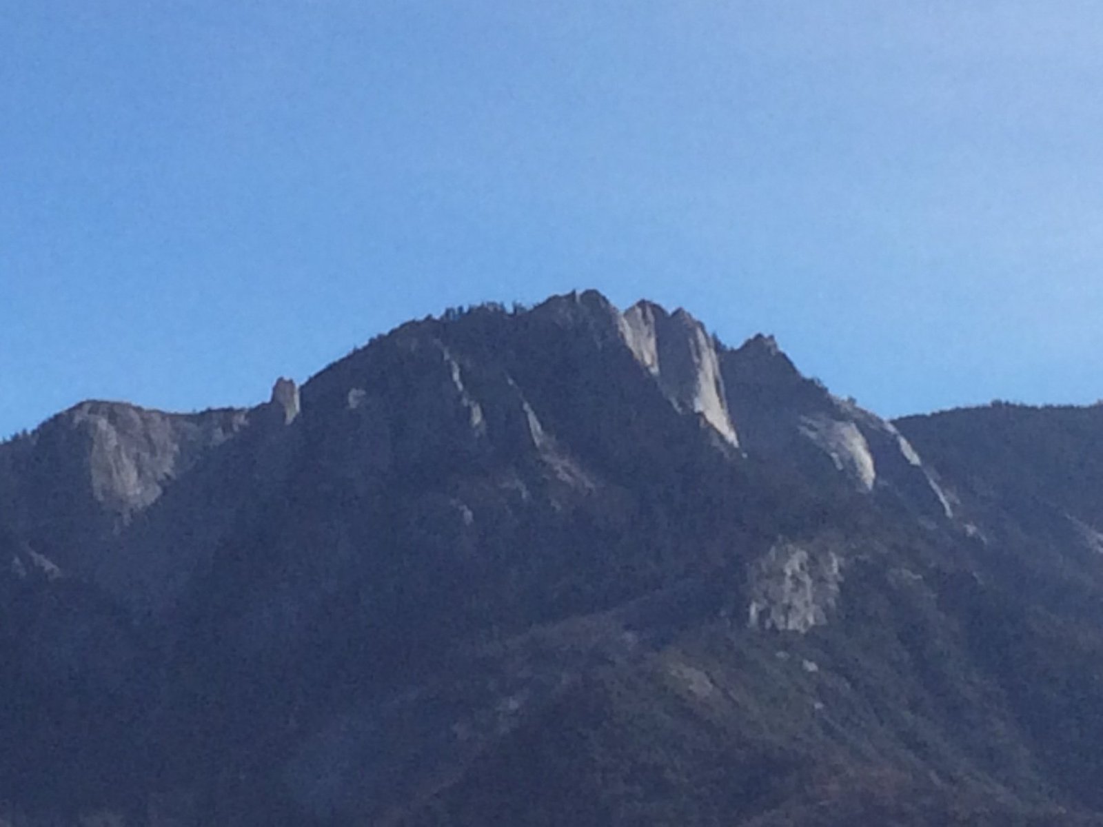
Alta Peak in Sequoia National Park stands at an impressive elevation of 11,204 feet (3,415 meters). This prominent summit offers hikers a challenging ascent and breathtaking views of the surrounding Sierra Nevada landscape. The Alta Peak trail, stretching 13.8 miles round trip, takes adventurers through diverse ecosystems and provides a true wilderness experience within one of America’s most beloved national parks.
What is the Exact Elevation of Alta Peak?

Alta Peak reaches an elevation of 11,204 feet (3,415 meters) above sea level. This makes it a significant peak within Sequoia National Park, though not the highest. The park’s elevations range from about 1,500 feet in the foothills to over 14,000 feet at its highest points, placing Alta Peak in the upper echelons of the park’s topography.
How Does Alta Peak’s Elevation Compare to Other Sequoia National Park Features?

To put Alta Peak’s elevation into perspective, let’s compare it to other notable features within Sequoia National Park:
| Feature | Elevation (feet) | Elevation (meters) |
|---|---|---|
| Alta Peak | 11,204 | 3,415 |
| Mount Whitney (highest point) | 14,505 | 4,421 |
| Moro Rock | 6,725 | 2,050 |
| Giant Forest | 6,500 (average) | 1,980 (average) |
| Lodgepole Visitor Center | 6,700 | 2,042 |
As we can see, Alta Peak stands tall among the park’s features, offering a challenging hike that rewards visitors with panoramic views of the surrounding landscape.
What Are the Key Specifications of the Alta Peak Trail?
The Alta Peak trail is known for its strenuous nature and spectacular scenery. Here are the essential details:
- Trail Length: 13.8 miles round trip
- Elevation Gain: 3,924 feet
- Difficulty Level: Strenuous to difficult
- Estimated Time: 8-10 hours for most hikers
The trail begins at the Wolverton parking lot and winds its way through several distinct zones:
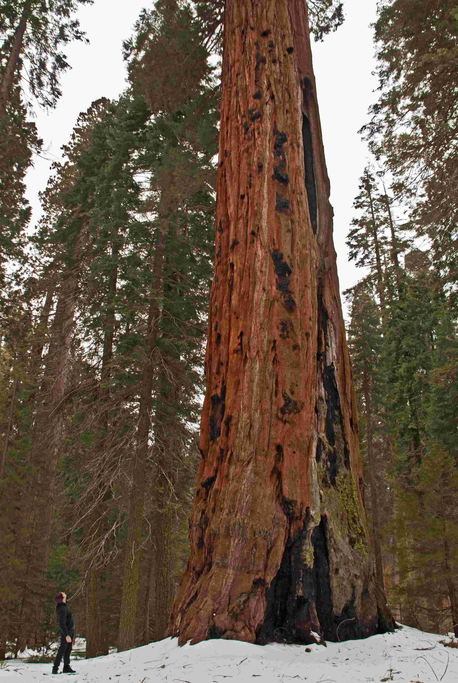
- Dense forest at lower elevations
- Panther Gap (8,450 feet)
- Traverse along the north wall of the Middle Fork Kaweah valley
- Alta Peak junction (choice between Alta Meadows or continuing to the peak)
- Steep ascent through an avalanche chute
- Final scramble over broken rock slabs to the summit
What Challenges Might Hikers Face Due to Alta Peak’s Elevation?
The high elevation of Alta Peak presents several challenges for hikers:
-
Altitude Sickness: As the trail climbs above 8,000 feet, some hikers may experience symptoms of altitude sickness, including headaches, nausea, and shortness of breath.
-
Weather Variability: Higher elevations often experience more extreme and rapidly changing weather conditions. Hikers should be prepared for sudden temperature drops, strong winds, and even snow at the summit, even in summer months.
-
UV Exposure: The thinner atmosphere at higher elevations allows more UV radiation to reach the surface. Sunburn and eye strain can occur more quickly than at lower altitudes.
-
Physical Exertion: The combination of steep terrain and reduced oxygen levels at higher elevations makes the hike particularly strenuous. Hikers should be in good physical condition and pace themselves accordingly.
How Should Hikers Prepare for Alta Peak’s Elevation?
To safely tackle Alta Peak’s elevation, consider the following preparation tips:
- Acclimatization: Spend a day or two at lower elevations in the park before attempting the hike to allow your body to adjust to the altitude.
- Hydration: Drink plenty of water before and during the hike. Higher elevations can lead to faster dehydration.
- Sun Protection: Use high-SPF sunscreen, wear a hat, and bring sunglasses to protect against increased UV exposure.
- Layered Clothing: Pack layers to adjust for temperature changes as you ascend.
- Emergency Gear: Carry a first-aid kit, emergency shelter, and extra food in case of unexpected delays or weather changes.
What Are the Best Times to Hike Alta Peak Considering Its Elevation?
The optimal hiking season for Alta Peak typically runs from late June to early October, depending on snow conditions. Here’s a breakdown of what to expect in different seasons:
- Summer (July-August): Peak season with the most reliable weather and trail conditions. However, this is also the busiest time.
- Early Fall (September-Early October): Often ideal with cooler temperatures and fewer crowds. Fall colors can be spectacular.
- Late Spring/Early Summer (Late May-June): Snow may still be present at higher elevations, requiring additional skills and equipment.
- Winter (November-April): The trail is typically inaccessible due to snow and ice. Winter ascents require advanced mountaineering skills.
What Views Can Hikers Expect from Alta Peak’s Elevation?
The panoramic views from Alta Peak’s summit are truly breathtaking and well worth the challenging ascent. On a clear day, hikers can expect to see:
- The Great Western Divide
- The Kaweah Peaks
- The Tablelands
- Alta Meadow
- The Middle Fork of the Kaweah River valley
- On exceptionally clear days, views may extend as far as the Coast Ranges to the west
How Does Alta Peak’s Elevation Affect the Surrounding Ecosystem?
The elevation gradient of Alta Peak supports a diverse range of ecosystems:
- Lower Elevations (6,000-8,000 feet):
-
Mixed conifer forests with species like sugar pine, white fir, and incense cedar
-
Mid-Elevations (8,000-10,000 feet):
-
Transition to subalpine forests with lodgepole pine and red fir
-
Higher Elevations (10,000+ feet):
- Alpine zone with hardy, low-growing plants adapted to harsh conditions
- Whitebark pine may be present near the treeline
This elevation-based biodiversity makes the Alta Peak trail an excellent showcase of Sequoia National Park’s varied habitats.
What Safety Precautions Are Necessary Due to Alta Peak’s Elevation?
Given the challenges posed by Alta Peak’s elevation, hikers should take the following safety precautions:
- Inform Others: Leave a detailed trip plan with a responsible party.
- Start Early: Begin your hike at dawn to avoid afternoon thunderstorms common at high elevations.
- Pace Yourself: Take frequent breaks and listen to your body to avoid overexertion.
- Stay on Trail: The ecosystem at high elevations is fragile; stick to designated paths.
- Be Bear Aware: Proper food storage is crucial, as bears are active in the area.
- Carry a Map and Compass: GPS devices may not always be reliable at high elevations.
By respecting the mountain’s elevation and preparing adequately, hikers can safely enjoy the remarkable experience of summiting Alta Peak in Sequoia National Park.

