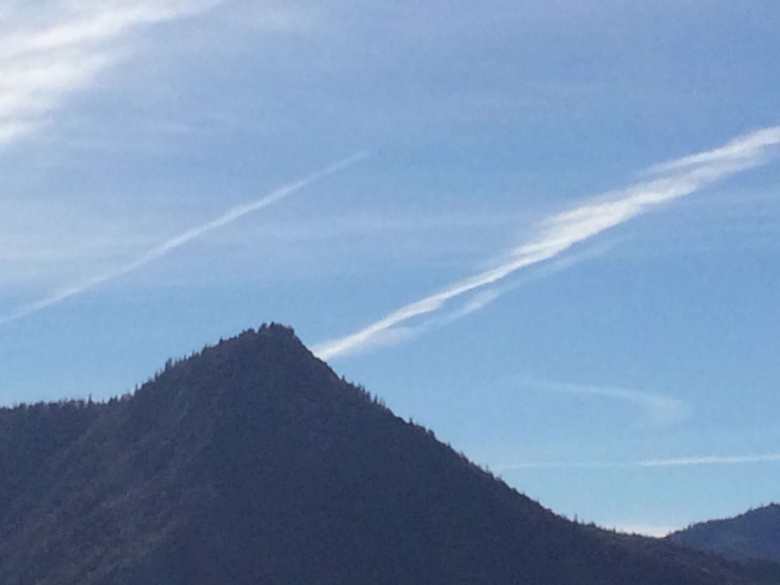
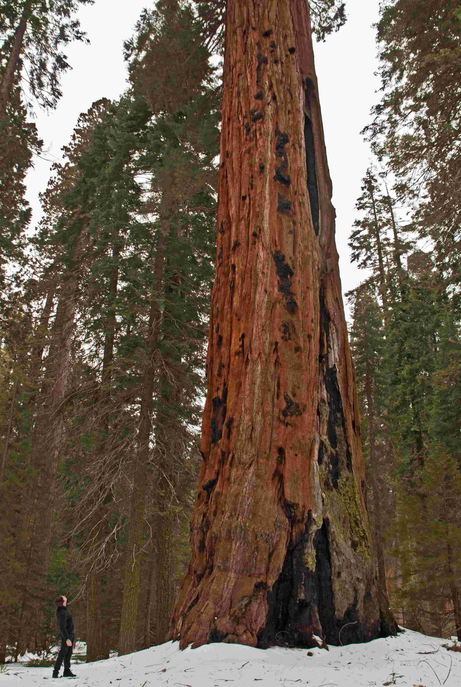
The Alta Trail in Sequoia National Park is a strenuous 13.8-mile round trip hike that offers stunning panoramic views of the Sierra Nevada. Starting at 7,280 feet and climbing to the summit of Alta Peak at 11,204 feet, this trail challenges hikers with steep inclines, rocky terrain, and high elevation. Despite its difficulty, the Alta Trail rewards adventurers with breathtaking vistas of the Great Western Divide, Kaweah Peaks, and the San Joaquin Valley.
What Makes Alta Trail a Challenging Hike?

The Alta Trail is classified as a strenuous to difficult hike due to several factors:
- Significant elevation gain (3,924 feet)
- Long distance (13.8 miles round trip)
- Steep and rocky sections, especially near the summit
- High altitude conditions
- Potential for snow and ice in certain seasons
Hikers should be well-prepared and in good physical condition to tackle this demanding trail.
Where is the Alta Trail Trailhead Located?

The Alta Trail trailhead is situated at the Alta Peak and Pear Lake Trailhead, accessible via Wolverton Road in Sequoia National Park. Here are the key details:
- Located approximately 1.5 miles off the Generals Highway
- Near the Wolverton parking lot
- Facilities include a bathroom and ample parking
- Follow signs for Alta Peak and Pear Lake Trail (not Long Meadow Loop Trail)
What Permits and Restrictions Apply to Alta Trail?
Before embarking on your Alta Trail adventure, be aware of the following:
- Wilderness permits required for overnight stays (obtain from Lodgepole Visitor Center)
- No pets allowed on the trail
- Not recommended for families with young children due to difficulty
- Day hikers do not need a permit
What Are the Most Scenic Viewpoints Along Alta Trail?
The Alta Trail offers several breathtaking viewpoints throughout the hike:
- Panther Gap (2.8 miles from trailhead)
-
Views of Middle Fork Kaweah valley and surrounding peaks
-
Mehrten Meadow and Beyond (3-4 miles from trailhead)
- Panoramic views of the Great Western Divide
-
Vistas of the Middle Fork Kaweah valley
-
Tharp’s Rock (5-6 miles from trailhead)
- Dramatic views of Alta Meadow
-
Surrounding granite peaks
-
Summit of Alta Peak (6.9 miles from trailhead)
- 360-degree panorama of the Sierra Crest
- Views of the Great Western Divide
- Kaweah Peaks and San Joaquin Valley foothills
What Wildlife Might You Encounter on Alta Trail?
While specific wildlife sightings along Alta Trail are not well-documented, Sequoia National Park is home to diverse fauna. Hikers should be prepared for potential encounters with:
- Black bears
- Mule deer
- Various bird species
- Smaller mammals and reptiles
Wildlife Safety Tips:
- Carry bear-resistant containers
- Make noise while hiking to avoid surprising animals
- Stay alert and maintain a safe distance from wildlife
- Follow park guidelines for wildlife encounters
How Should You Prepare for the Alta Trail Hike?
Given the challenging nature of the Alta Trail, proper preparation is crucial:
- Physical Conditioning
- Train for steep inclines and long distances
-
Acclimate to high altitudes if possible
-
Gear and Supplies
- Sturdy hiking boots with good traction
- Trekking poles for stability
- Plenty of water and high-energy snacks
- Layered clothing for changing weather conditions
- Sun protection (hat, sunscreen, sunglasses)
- First aid kit
-
Navigation tools (map, compass, GPS device)
-
Weather and Trail Conditions
- Check current weather forecasts
- Inquire about trail conditions at the visitor center
-
Be prepared for sudden weather changes
-
Timing and Pacing
- Start early in the day to allow ample time
- Plan for a full day hike (8-10 hours)
- Set a steady pace and take regular breaks
What Are the Best Seasons to Hike Alta Trail?
The optimal time to hike Alta Trail depends on various factors:
| Season | Pros | Cons |
|---|---|---|
| Summer | – Clear trails – Warm temperatures – Long daylight hours |
– Crowded – Hot at lower elevations |
| Fall | – Cooler temperatures – Fall colors – Less crowded |
– Shorter days – Potential early snow |
| Spring | – Wildflowers – Waterfalls at peak flow |
– Snow at higher elevations – Muddy trails |
| Winter | – Solitude – Snow-covered landscapes |
– Extreme cold – Advanced winter skills required |
Late summer to early fall (August to October) is generally considered the best time for most hikers to tackle Alta Trail.
How Does Alta Trail Compare to Other Sequoia National Park Hikes?
Alta Trail stands out among Sequoia National Park hikes for several reasons:
- Elevation Gain: One of the more challenging day hikes in terms of elevation change
- Views: Offers some of the best panoramic vistas in the park
- Diverse Landscapes: Traverses through forests, meadows, and alpine zones
- Less Crowded: Generally less busy than popular trails like Moro Rock or General Sherman Tree
While more difficult than many park trails, Alta Trail provides a rewarding experience for those seeking a challenging day hike with exceptional views.
By embarking on the Alta Trail in Sequoia National Park, hikers can experience the raw beauty of the Sierra Nevada mountains and challenge themselves on one of the park’s most rewarding trails. With proper preparation and respect for the environment, the Alta Trail offers an unforgettable adventure in one of America’s most stunning national parks.
References:
1. Alta Peak via Lakes, Panther Gap, and Alta Trail, California – AllTrails
2. Alta Peak via Alta Trail – California | Gaia GPS
3. Alta Peak – Redwood Hikes

