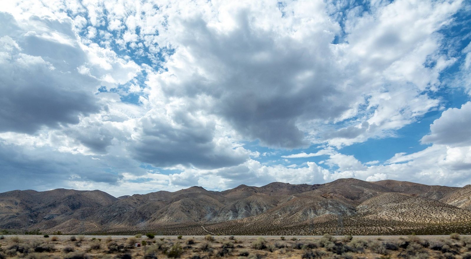
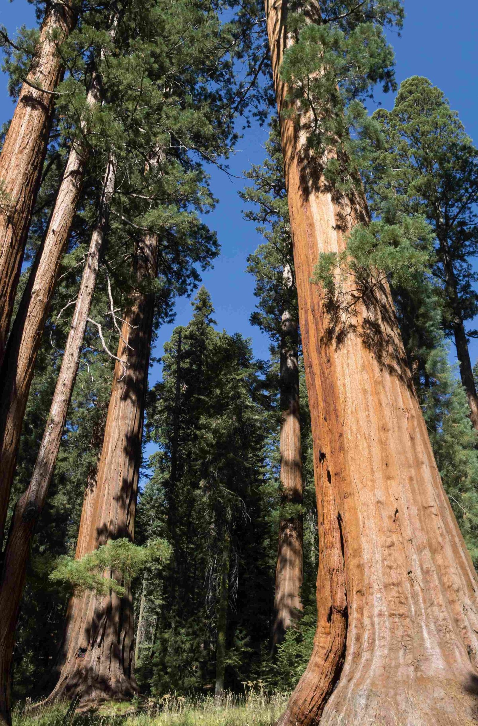
The Pacific Crest Trail (PCT) does indeed traverse Sequoia National Park, offering hikers a chance to experience the breathtaking beauty of this iconic wilderness. The trail shares a significant portion with the John Muir Trail (JMT) in this area, particularly around Mount Whitney, the highest peak in the contiguous United States. This section of the PCT provides a challenging yet rewarding journey through diverse landscapes, from towering sequoias to alpine meadows and rugged mountain passes.
What is the Route of the PCT Through Sequoia National Park?

The PCT’s path through Sequoia National Park is a highlight for many thru-hikers and section hikers alike. Here’s a breakdown of the route:
- Entry Point: The trail enters the park from the north, coming from Kings Canyon National Park.
- Key Features:
- Passes through the Mount Whitney zone
- Traverses high alpine terrain
- Offers views of the Great Western Divide
- Exit Point: Continues south into the Golden Trout Wilderness
A popular section hike within the park starts at Kearsarge Pass, summits Mount Whitney, and ends at Cottonwood Pass, covering approximately 65 miles of challenging terrain.
What Are the Major Landmarks Along the PCT in Sequoia?

Hikers on the PCT through Sequoia National Park will encounter several notable landmarks:
- Mount Whitney (14,494 ft)
- Forester Pass (13,153 ft) – the highest point on the entire PCT
- Crabtree Meadow
- Guitar Lake
- Tyndall Creek
These landmarks offer not only spectacular views but also serve as important waypoints for navigation and camping.
How Challenging is the PCT Section in Sequoia National Park?
The PCT section through Sequoia National Park is considered one of the most challenging parts of the entire trail. Here’s why:
- Elevation: Hikers must navigate extreme elevation changes, including the ascent of Mount Whitney.
- Terrain: Rocky, often snow-covered paths require careful footing and proper equipment.
- Weather: Unpredictable mountain weather can include sudden storms, even in summer.
- Remoteness: Long stretches between resupply points demand careful planning.
| Aspect | Challenge Level | Notes |
|---|---|---|
| Elevation | High | Includes highest point on PCT |
| Terrain | Moderate to High | Rocky, potential snow/ice |
| Weather | Moderate | Unpredictable, prepare for extremes |
| Remoteness | High | Limited access to supplies |
What Permits Are Required for PCT Hikers in Sequoia?
Navigating the permit system is crucial for PCT hikers entering Sequoia National Park:
- Long-distance PCT Permit: Covers the entire trail, including Sequoia National Park.
- Wilderness Permit: Required for overnight stays if not holding a long-distance PCT permit.
- Mount Whitney Zone Permit: Necessary for accessing the Mount Whitney area.
Permits help manage visitor impact and ensure the preservation of this pristine wilderness. Hikers should obtain permits well in advance, especially for popular areas like Mount Whitney.
How Can Hikers Prepare for the Sequoia Section of the PCT?
Proper preparation is key to a safe and enjoyable experience on the PCT through Sequoia National Park:
- Physical Conditioning: Train for high-altitude hiking and long distances.
- Gear: Bring appropriate gear for alpine conditions, including warm layers and traction devices.
- Navigation: Carry detailed maps and a GPS device.
- Food and Water: Plan for long stretches between resupply points and treat all water.
- Weather Awareness: Check forecasts regularly and be prepared for rapid changes.
- Leave No Trace: Follow principles to minimize impact on the fragile ecosystem.
What Are the Best Times to Hike the PCT Through Sequoia?
The optimal hiking window for the PCT through Sequoia National Park is typically:
- Peak Season: July to September
- Shoulder Seasons:
- June: Potential for lingering snow
- October: Risk of early winter storms
Factors to consider:
– Snow levels on high passes
– Water availability in late summer
– Crowd levels during peak season
Where Can PCT Hikers Resupply in Sequoia National Park?
Resupply options within Sequoia National Park are limited, requiring careful planning:
- Lodgepole Village:
- Location: Western part of the park
- Services: Small store, post office
-
Distance from PCT: Requires significant detour
-
Cedar Grove:
- Location: Kings Canyon (north of Sequoia)
- Services: Small store
- Distance from PCT: Substantial detour
Most PCT hikers opt to resupply before entering or after exiting the park due to the remote nature of the trail within Sequoia.
How Does the PCT Interact with Sequoia’s Ecosystem?
The PCT’s route through Sequoia National Park offers hikers a unique perspective on diverse ecosystems:
- Sequoia Groves: While the trail doesn’t pass directly through the giant sequoia groves, side trips allow hikers to experience these ancient trees.
- Alpine Meadows: High-elevation meadows showcase delicate wildflowers and provide habitat for marmots and pika.
- Subalpine Forests: Stands of lodgepole pine and foxtail pine characterize the higher elevations.
- Alpine Zone: Above treeline, hikers encounter a stark landscape of rock and snow, home to hardy plant species.
The trail’s presence requires ongoing management to balance access with conservation, ensuring future generations can enjoy this remarkable wilderness.
In conclusion, the Pacific Crest Trail’s journey through Sequoia National Park offers hikers an unforgettable experience, combining challenging terrain with awe-inspiring natural beauty. Proper planning, respect for the environment, and adherence to park regulations are essential for a safe and rewarding trek through this iconic landscape.
