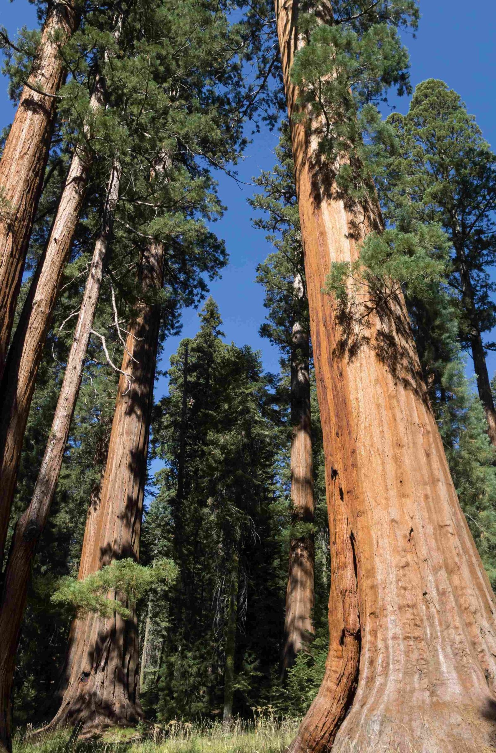
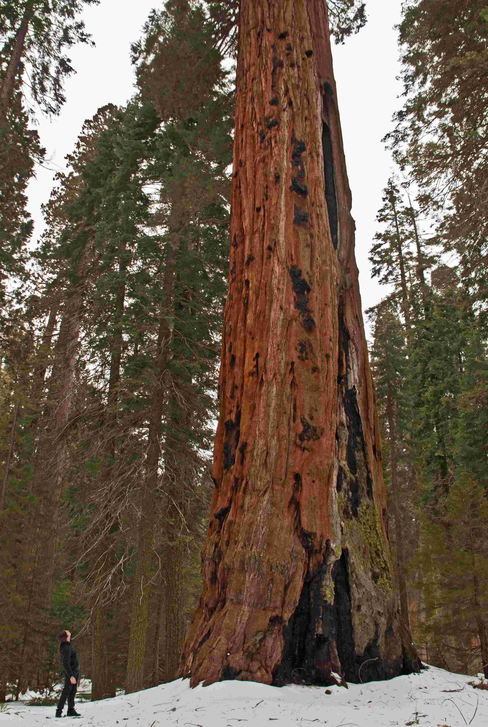
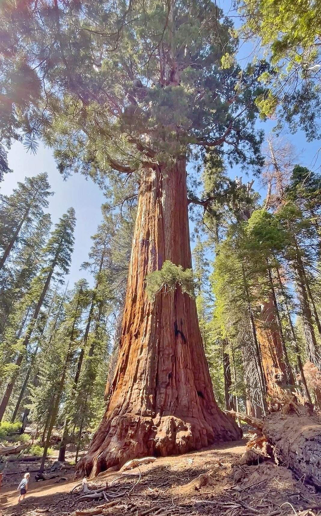
Sequoia National Park boundary encompasses a vast area of 404,064 acres in the southern Sierra Nevada mountains of California. The park’s boundary is defined by rugged terrain, including deep canyons, towering peaks, and ancient forests. It shares borders with Kings Canyon National Park to the north and Inyo National Forest to the east. The western boundary is marked by foothills that descend into the San Joaquin Valley.
What Are the GPS Coordinates of Sequoia National Park?

The central GPS coordinates for Sequoia National Park are:
– Latitude: 36.486366
– Longitude: -118.565750
These coordinates place the park in the heart of the Sierra Nevada mountain range, approximately 225 miles north of Los Angeles and 185 miles southeast of San Francisco.
Where Can I Find Official Boundary Maps?

The National Park Service (NPS) provides several resources for obtaining official boundary maps:
- NPS Website: Visit the official Sequoia and Kings Canyon National Parks website for downloadable PDF maps.
- Visitor Centers: Physical maps are available at park visitor centers.
- USGS Topographic Maps: These detailed maps show park boundaries and topographic features.
| Map Type | Where to Obtain |
|---|---|
| Digital PDF | NPS Website |
| Physical Map | Park Visitor Centers |
| Topographic | USGS Store |
What Are the Main Entrance Points to the Park?
Sequoia National Park has several entrance stations that serve as gateways to the park:
- Ash Mountain Entrance: The main southern entrance, located near Three Rivers.
- Lodgepole Entrance: Provides access from Kings Canyon National Park.
- Mineral King Entrance: A seasonal entrance leading to the Mineral King area.
Each entrance has specific operating hours and may have different fees or pass requirements.
How Is the Park Boundary Marked on the Ground?
The Sequoia National Park boundary is marked in several ways:
- Metal boundary markers
- Carved wooden posts
- Natural features like ridgelines or rivers
- Signage at trailheads and road crossings
Hikers and backcountry users should be aware of these markers to ensure they remain within park boundaries.
What Regulations Govern Activities Near the Park Boundary?
Several regulations apply to activities near the Sequoia National Park boundary:
- Camping: Only permitted in designated areas within the park.
- Fires: Restrictions may apply, especially near boundaries during fire season.
- Wildlife: Feeding or approaching wildlife is prohibited throughout the park and adjacent areas.
- Permits: Required for backcountry camping and certain activities.
Always check current regulations before planning activities near park boundaries.
Are There Any Notable Geographic Features Along the Boundary?
The Sequoia National Park boundary includes several significant geographic features:
- Kern River: Forms part of the eastern boundary
- Great Western Divide: A mountain range that runs through the park
- Kaweah River: Exits the park on the western boundary
- Mount Whitney: The highest peak in the contiguous United States, located on the eastern boundary
These features contribute to the park’s diverse ecosystems and stunning landscapes.
How Does the Park Boundary Affect Wildlife Movement?
The Sequoia National Park boundary is not a barrier to wildlife. Animals move freely across park lines, which highlights the importance of:
- Habitat connectivity
- Cooperation with adjacent land managers
- Wildlife corridors
- Conservation efforts beyond park boundaries
Park biologists work with neighboring agencies to monitor and protect wildlife that ranges across jurisdictional lines.
What Challenges Exist in Managing the Park Boundary?
Managing the Sequoia National Park boundary presents several challenges:
- Encroachment: Preventing unauthorized development or use of park lands.
- Fire Management: Coordinating fire response with adjacent landowners and agencies.
- Invasive Species: Controlling the spread of non-native plants and animals across boundaries.
- Access Control: Maintaining boundary integrity while allowing for appropriate public access.
Park staff work diligently to address these challenges through partnerships, education, and enforcement.
How Can Visitors Help Protect the Park Boundary?
Visitors can play a crucial role in protecting the Sequoia National Park boundary:
- Stay on designated trails
- Report any vandalism or removal of boundary markers
- Respect private property adjacent to the park
- Follow Leave No Trace principles
- Educate others about the importance of park boundaries
By being responsible stewards, visitors help preserve the park for future generations.
What Future Plans Exist for the Park Boundary?
The National Park Service continually evaluates the Sequoia National Park boundary for potential adjustments:
- Land acquisitions to protect critical habitats
- Boundary studies to assess ecological needs
- Collaborative planning with adjacent land managers
- Potential expansions to include ecologically significant areas
Any changes to the park boundary require congressional approval and extensive public input.
Remember, understanding and respecting the Sequoia National Park boundary is crucial for conservation efforts and ensuring a positive experience for all visitors. Always check the latest information from official sources before your visit.
References:
1. National Park Service – Sequoia and Kings Canyon
2. USGS Store – Topographic Maps
3. Leave No Trace Center for Outdoor Ethics

