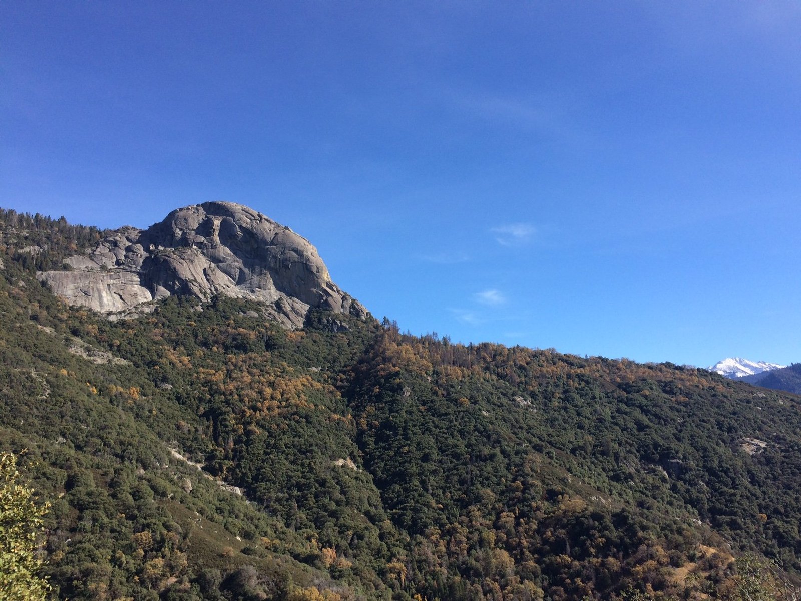
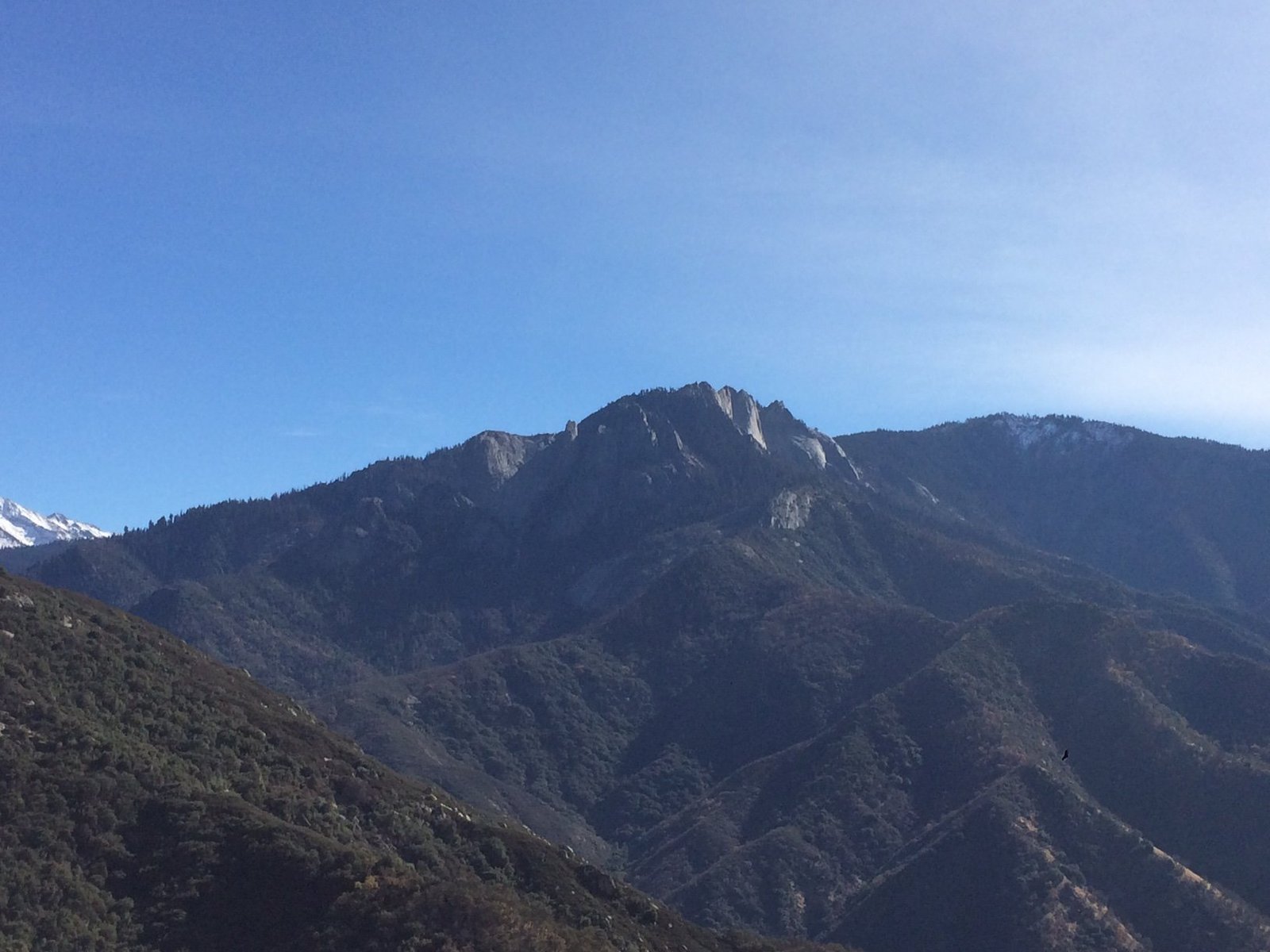
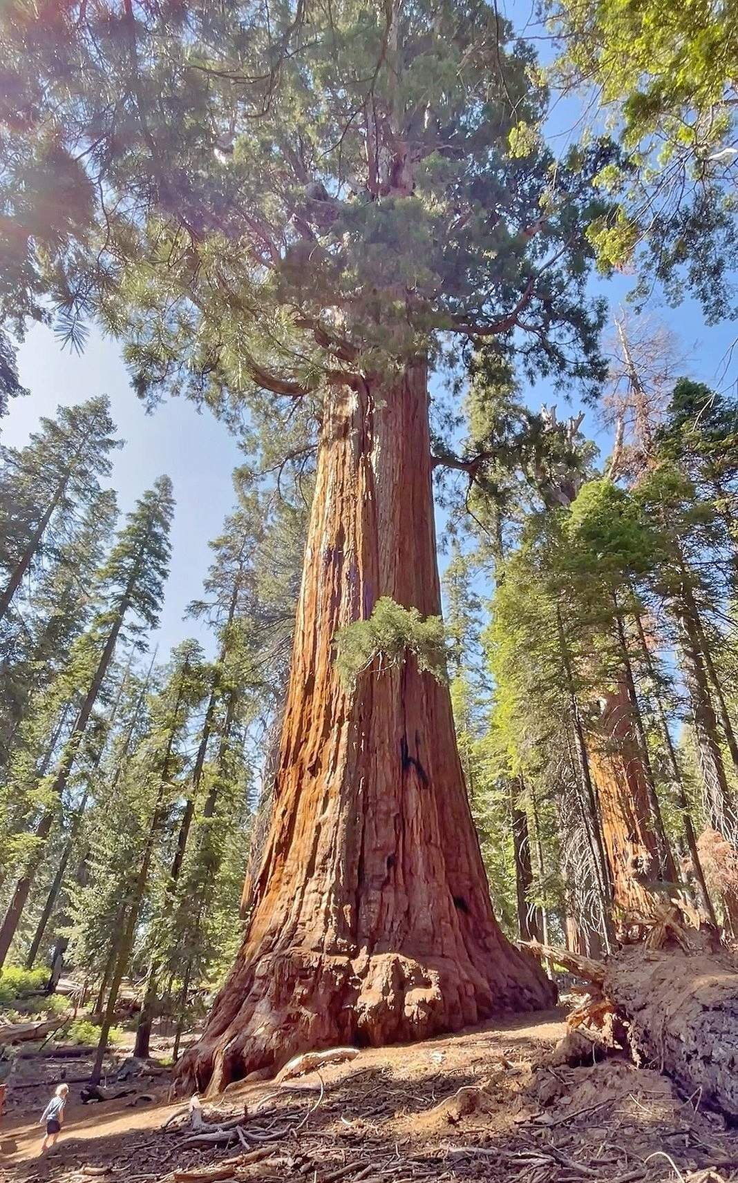
Sequoia National Park is renowned for its towering sequoia trees, but it also boasts impressive granite domes that offer breathtaking views and unique hiking experiences. These domes, formed by geological processes over millions of years, provide visitors with opportunities to explore diverse landscapes, from easy strolls to challenging climbs. This guide focuses on three prominent domes: Dome Rock, Moro Rock, and Little Baldy Dome, each offering its own distinct features and vistas.
What are the main granite domes in Sequoia National Park?

The three main granite domes in Sequoia National Park that we’ll explore are:
- Dome Rock
- Moro Rock
- Little Baldy Dome
Each of these domes offers unique hiking experiences and spectacular views of the surrounding landscape.
What is the hiking experience like at Dome Rock?

Dome Rock offers a relatively easy hiking experience:
- Trail Length: Approximately 0.5 miles round trip
- Elevation Gain: 75 feet
- Difficulty: Easy, more of a short stroll than a hike
- Estimated Time: About 15 minutes
The trail ends at a large granite dome, providing expansive views of:
- Sequoia National Forest
- Golden Trout Wilderness
- Surrounding mountains
- Upper Kern drainage
- Kern Plateau
- Distant mountain ranges
This short hike is suitable for families and seniors due to its accessibility and minimal elevation gain.
How challenging is the Moro Rock hike?
The Moro Rock hike is moderately challenging:
- Trail Length: 0.6 miles round trip
- Elevation Gain: 350 steps to climb
- Difficulty: Moderate due to the steep climb, but made safer by the stairway
- Estimated Time: About 30-45 minutes, depending on pace and time spent at the top
The stairway leads to the top of Moro Rock, offering panoramic views of:
- The Great Western Divide
- San Joaquin Valley
- Surrounding wilderness areas
Moro Rock is particularly spectacular for photography during sunrise and sunset. However, winter access may be limited due to snow and icy conditions.
What can hikers expect on the Little Baldy Dome trail?
The Little Baldy Dome trail is more challenging:
- Trail Length: 4 miles round trip
- Elevation Gain: 1,000 feet
- Difficulty: Moderate to strenuous due to switchbacks and elevation gain
- Estimated Time: Several hours, depending on pace and time spent at the summit
The trail features:
- Switchbacks
- A flat section through new growth trees
- Panoramic views from the summit
From the top, hikers can see:
- Mount Silliman
- Alta Peak
- The Great Western Divide
- Mountain ranges extending into the foothills
Summer hikers may enjoy wildflowers along the trail, while winter conditions may limit access.
What are the best viewpoints from these domes?
Each dome offers unique viewpoints:
Dome Rock
- Expansive views of Sequoia National Forest and Golden Trout Wilderness
- Panoramas of Slate Mountain and Western Divide Mountains
- Views of the Kern River Valley
Moro Rock
- Spectacular vistas of the Great Western Divide
- Sweeping views of the San Joaquin Valley
- Extensive wilderness panoramas
Little Baldy Dome
- 360-degree views including Mount Silliman and Alta Peak
- Panoramic vistas of the Great Western Divide
- Views extending into the foothills
Are there climbing opportunities on these domes?
Yes, several domes in Sequoia National Park offer climbing routes:
- Climbing Routes: Established routes on Moro Rock, Little Baldy, and other domes
- Difficulty Levels: Varying levels, generally suited for experienced climbers
- Required Gear: Standard rock climbing equipment (ropes, harnesses, protection)
- Safety Considerations:
- Be aware of steep dropoffs
- Check for icy or snowy conditions
- Respect closures protecting peregrine falcon nests
- Permits: No specific permits for hiking, but check with park authorities for climbing regulations
How can visitors access trail maps and parking information?
Trail Maps
Official trail maps are available through:
– National Park Service
– Various outdoor recreation websites
GPS Coordinates for Trailheads
- Dome Rock: 36.0680, -118.5320 (36° 04′ 04.8″N 118° 31′ 55.2″W)
- Moro Rock: Near the Giant Forest Museum parking area
- Little Baldy Dome: 11 miles north of Giant Forest Village on Generals Highway
Parking Facilities
| Dome | Parking Information |
|---|---|
| Dome Rock | End of Forest Route 21S69, limited capacity, no fees |
| Moro Rock | Small lot near Giant Forest Museum, fills quickly; summer weekend shuttles available |
| Little Baldy Dome | Turnout at Little Baldy Saddle, no specific fees mentioned |
What accessibility options are available for different visitor groups?
- Dome Rock: Highly accessible for families and seniors due to short, easy trail
- Moro Rock: Challenging but manageable with handrails; may be difficult for some
- Little Baldy Dome: More strenuous, may not suit all families or seniors
By exploring these granite domes, visitors to Sequoia National Park can experience a diverse range of hiking challenges and breathtaking views. From the easy stroll to Dome Rock to the more demanding climb up Little Baldy Dome, there’s an adventure waiting for every level of hiker in this majestic landscape of ancient trees and timeless stone.

