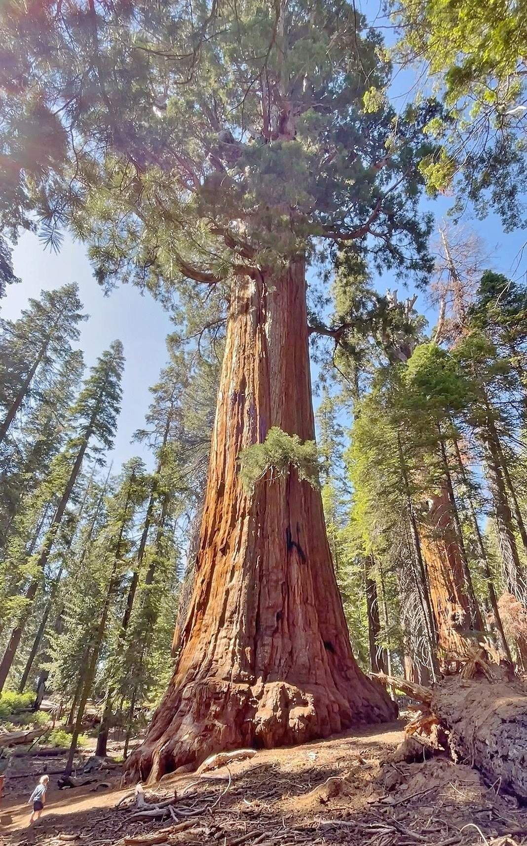
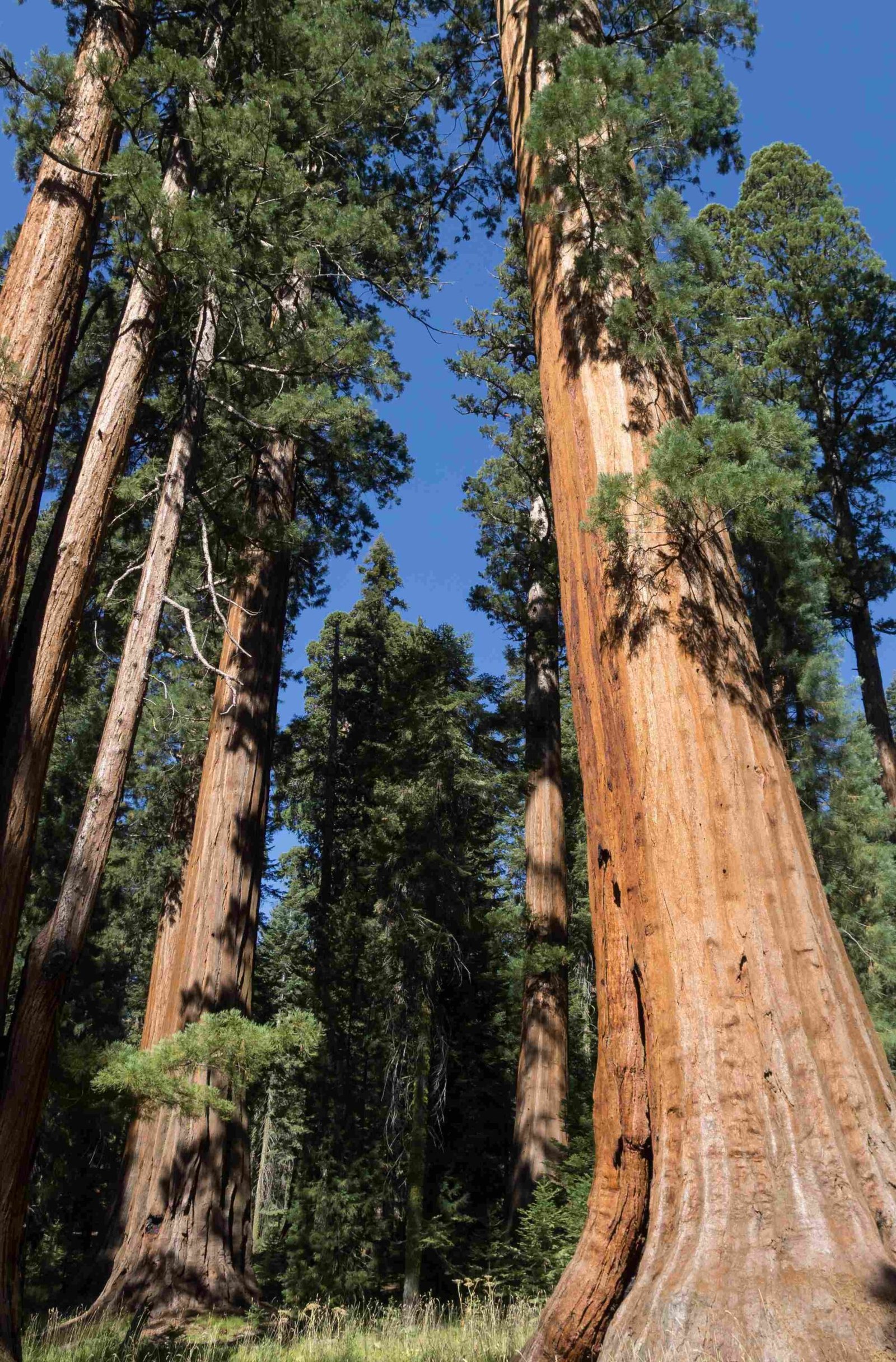
Sequoia National Park GPS coordinates are crucial for navigating this vast wilderness area. The park, spanning 404,064 acres, features diverse landscapes from towering sequoia groves to rugged mountain peaks. Key coordinates include the Ash Mountain Entrance (36.4917, -118.8375), General Sherman Tree (36.5803, -118.7524), and Moro Rock (36.5439, -118.7639). These GPS points help visitors locate major attractions, trailheads, and facilities within the park.
Where Are the Main Entrance GPS Coordinates?

The primary access point for Sequoia National Park is the Ash Mountain Entrance. Its GPS coordinates are:
- Decimal Format: 36.4917, -118.8375
- DMS Format: 36° 29′ 30\” N, 118° 50′ 15\” W
This entrance is accessible via Highway 198 and serves as the gateway to the park’s southern region. Visitors entering through this point will find themselves immersed in the foothills ecosystem before ascending to the giant sequoia groves.
What Are the GPS Coordinates for Major Landmarks?

Sequoia National Park is home to several iconic landmarks. Here are the GPS coordinates for some of the most popular attractions:
- General Sherman Tree
- Decimal: 36.5803, -118.7524
-
DMS: 36° 34′ 49\” N, 118° 45′ 8\” W
-
Moro Rock
- Decimal: 36.5439, -118.7639
-
DMS: 36° 32′ 38\” N, 118° 45′ 50\” W
-
Crescent Meadow
- Decimal: 36.5611, -118.7483
- DMS: 36° 33′ 40\” N, 118° 44′ 54\” W
These landmarks are accessible via the Generals Highway, which winds through the heart of the park.
How Can I Find Visitor Centers and Facilities?
Visitor centers and facilities play a crucial role in enhancing your park experience. Here are the GPS coordinates for key locations:
| Facility | Decimal Coordinates | DMS Coordinates |
|---|---|---|
| Foothills Visitor Center | 36.0347, -118.6233 | 36° 2′ 5\” N, 118° 37′ 24\” W |
| Lodgepole Visitor Center | 36.6042, -118.7333 | 36° 36′ 15\” N, 118° 44′ 0\” W |
| Giant Forest Museum | 36.5633, -118.7758 | 36° 33′ 48\” N, 118° 46′ 33\” W |
These facilities offer information, exhibits, and amenities to help you plan your visit and learn about the park’s unique ecosystem.
Where Are the Popular Trailhead Coordinates?
For hikers and nature enthusiasts, knowing the GPS coordinates of trailheads is essential. Here are two popular trailheads:
- Congress Trailhead (near General Sherman Tree)
- Decimal: 36.5803, -118.7524
-
DMS: 36° 34′ 49\” N, 118° 45′ 8\” W
-
Moro Rock Trailhead
- Decimal: 36.5439, -118.7639
- DMS: 36° 32′ 38\” N, 118° 45′ 50\” W
These trailheads offer access to some of the park’s most scenic hikes and viewpoints.
What Navigation Challenges Should I Be Aware Of?
While GPS coordinates are invaluable for navigation in Sequoia National Park, there are some challenges to consider:
-
Road Conditions: Some roads, especially at higher elevations, may be closed during winter due to snow. Always check current road conditions before your visit.
-
GPS Signal Strength: In certain areas of the park, particularly in deep canyons or dense forests, GPS signal may be weak or unreliable. It’s advisable to:
- Download offline maps before your trip
- Carry a physical map and compass as backup
-
Be familiar with basic navigation skills
-
Changing Elevations: The park’s elevation ranges from 1,370 feet to 14,494 feet. This dramatic change can affect GPS accuracy and vehicle performance.
How Can I Use GPS Coordinates for Park Planning?
Utilizing GPS coordinates for park planning can significantly enhance your visit:
- Pre-trip Planning:
- Plot your route using the coordinates of key attractions and facilities
- Estimate travel times between points of interest
-
Plan hikes based on trailhead locations
-
On-site Navigation:
- Use coordinates to locate specific giant sequoias or viewpoints
- Navigate to lesser-known areas of the park
-
Find your way back to your vehicle or campsite
-
Photography:
- Record the locations of scenic spots for future visits
- Share exact locations of wildlife sightings or beautiful vistas
What Are the Operating Hours and Costs?
Understanding the park’s operating hours and costs is crucial for planning:
- Entrance Fee: $35 per vehicle for a 7-day pass
- Operating Hours:
- Park is open 24/7, 365 days a year
- Visitor centers typically operate from 8 AM to 4:30 PM, with seasonal variations
How Can I Ensure Accurate GPS Navigation in the Park?
To ensure accurate GPS navigation in Sequoia National Park:
-
Update Your Device: Ensure your GPS device or smartphone has the latest software and map updates.
-
Use Multiple Sources: Cross-reference GPS data with physical maps and park signage.
-
Check Signal Strength: Be aware of areas with potentially weak GPS signals, such as deep valleys or dense forests.
-
Carry Backup Power: Bring portable chargers or extra batteries for your navigation devices.
-
Learn Basic Navigation: Familiarize yourself with using a compass and reading topographic maps as a backup.
By following these tips and utilizing the provided GPS coordinates, you can navigate Sequoia National Park with confidence, ensuring a safe and enjoyable experience in one of America’s most majestic natural wonders.
References:
1. https://www.nps.gov/seki/planyourvisit/directions.htm
2. https://www.nps.gov/seki/planyourvisit/maps.htm
3. https://www.sequoia-kingscanyon.com/directions.html

